
Adding a Geo Document to a Project
ATLAS.ti uses Open Street Map or Bing Map / Big Satellite Map as its data source for geo documents. Even though there is only one data source, you can also use more than one geo docs in your project, e.g. to create distinct sets of locations, to simulate tours, to simply tell different stories.
To add a geo document to the project, go to the Home tab, look for the Add Documents button, click on the dropdown arrow and select New Geo Document.
A new document is added and if you open it you see the world map. The default name is "New Geo Document". You may want to rename it, so it better describes your analytic intention.
Finding a Location
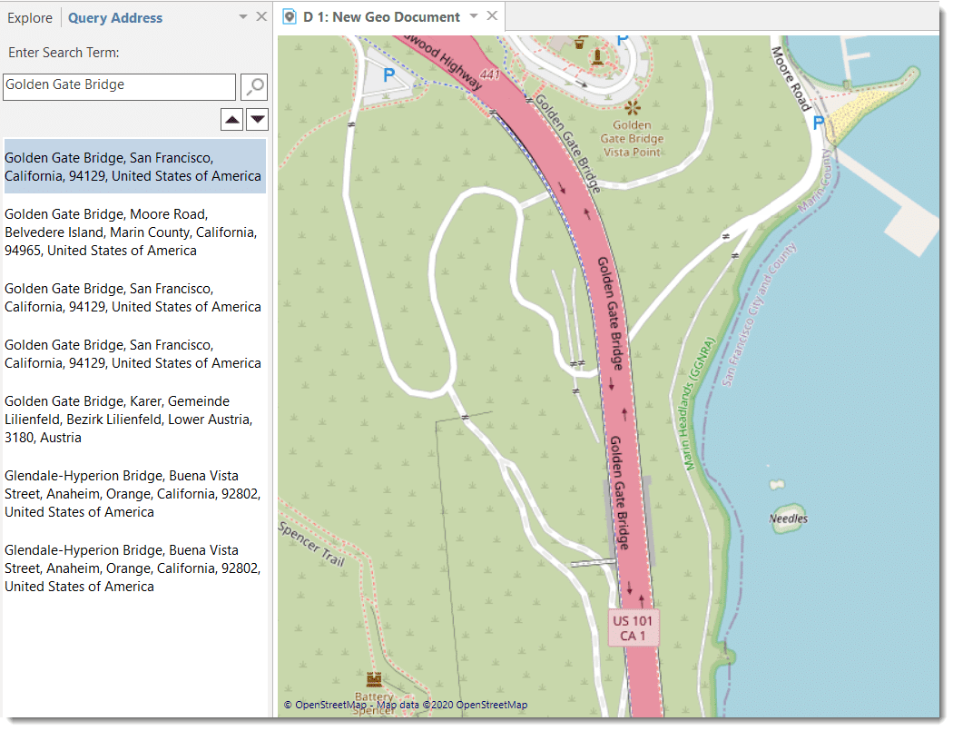
The first thing you probably want to do is to query an address:
In the Document tab, click on the button Query Address.
A new tab opens in the navigator on the left. Enter a search term.
The map immediately displays the location that fits the search term and adds a place mark.
Changing the View from Open Street Map to Bing
If you prefer to use Bing Map or Bing Satellite Map,
Select the contextual Tools Tab and change the Map Type in the section Maps.
For further information, see Working with Geo Data.